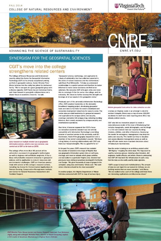
Furthering geospatial education
November 15, 2014
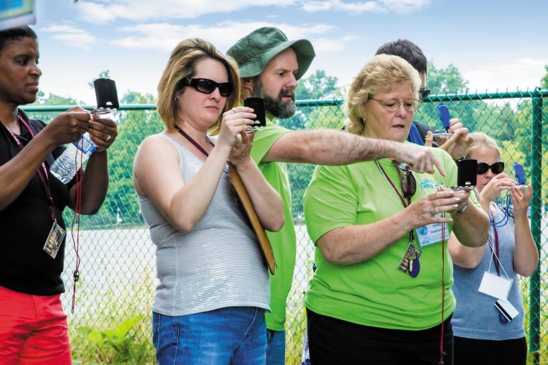
To meet the ever-increasing demand for geospatial technology professionals in the public and private sectors, the Virginia Geospatial Extension Program continues its effort to educate community college and high school faculty members in this evolving field of study. Participants in the regional Geospatial Technician Education (GeoTEd) program returned to Virginia Tech in June 2014 for the second of two summer institutes.
The weeklong program offers educators specialized training so that they can integrate geospatial technologies in the classroom, helping to prepare their students for careers in this rapidly growing profession. Faculty cohort members also participate in webinars throughout the year and receive three years of mentoring.
The institute expanded upon last summer’s curriculum, including instruction on crowdsourcing tools and ArcGIS Online. “This time around we focused more on Lidar and multispectral remote sensing tools and techniques than we did last year,” said Associate Professor John McGee, who heads the Virginia Geospatial Extension Program. The institute also drew some top-notch instructors. “We were excited to have Ann Johnson and Rodney Jackson of the National Center of Excellence for Geospatial Technology and Charlie Fitzpatrick of industry leader Esri on hand to teach several sessions,” he added.
In September 2014, GeoTEd and VAMLIS (the Virginia Association of Mapping and Land Information Systems) established a more formalized mentoring program open to institute participants as well as Virginia Community College faculty members and high school dual enrollment educators. “It is designed to network educators with committed geospatial professionals to foster the use of geospatial technologies in the classroom,” McGee explained. “Our goal is to continue to enhance the geospatial educational pipeline to support the needs of Virginia’s communities.” For more information, visit www.vagismentor.org.