CGIT's move into the college strengthens related centers
November 15, 2014
The College of Natural Resources and Environment recently added the Center for Geospatial Information Technology (CGIT) to its already exceptionally strong portfolio in geospatial science. Center Director Peter Sforza believes that the entity has joined its intellectual family. “We’re now part of a great geospatial group with a diverse capacity. CGIT finally has an intellectual home, and I look forward to synergistic collaborations and a clearer focus on academic research,” he said.
The college offers more than 95 percent of the university’s coursework in geographic technologies as well as degrees and certificate programs. It has a deep and productive research enterprise in geospatial science and its application to natural resources and environmental challenges. CGIT can interface productively with several of the college’s research centers, including the Center for Environmental Applications in Remote Sensing, Conservation Management Institute, and Center for Natural Resources Assessment and Decision Support.
“Geospatial science, technology, and application is a body of scholarship that has unlimited potential in the arena of natural resources and the environment,” said Dean Paul Winistorfer. “It helps us understand relationships in a spatial context and therefore be better informed to make better decisions and find better solutions. We welcome CGIT with open arms and know this is a strategic fit for the center, the college, and the university. We intend to further develop this strength and leverage all of our assets in the geospatial arena.”
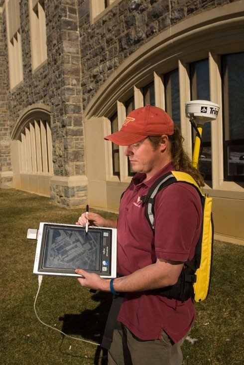
Previously part of the university’s Information Technology office, CGIT provided leadership on the statewide broadband mapping project, developing geospatial tools and data to facilitate the state’s broadband and economic development objectives for years to come. The center also provided leadership for geospatial research and applications for campus safety and security, creating a complete 3-D campus map, including building interiors, that is easily accessed by campus security and maintenance operations.
Over time, it became apparent that CGIT’s focus on innovative academic research was not entirely compatible with Information Technology’s overriding mission of practical service to the university, said Bill Carstensen, head of the geography department and a member of the center’s stakeholder’s council. “We have a long history of working collaboratively with CGIT and know our mutual strengths. This is a good fit for all.”
In the past five years, CGIT’s research has included the creation of extensive wine maps of Virginia that use geographic information system data on soil types, drainage, and more to indicate which grape varieties are best suited to a particular Virginia area. Growers had previously been relying on practices developed in California and Europe. “We grow thousands of crops of grapes in the computer, using data and models,” Sforza said. “We learn where viticulture should be the most successful.”
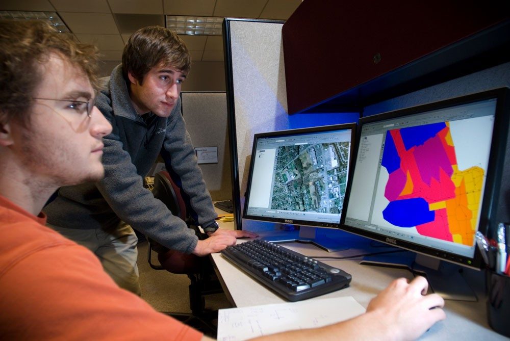
In another project, the Virginia Department of Motor Vehicles contracted with CGIT to map all serious injury crashes on Virginia roads in an attempt to identify accident hotspots. Sforza says a map of some 400,000 accidents his staff have been inputting since 2011 has already yielded results.
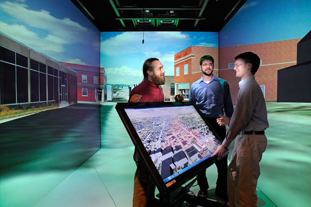
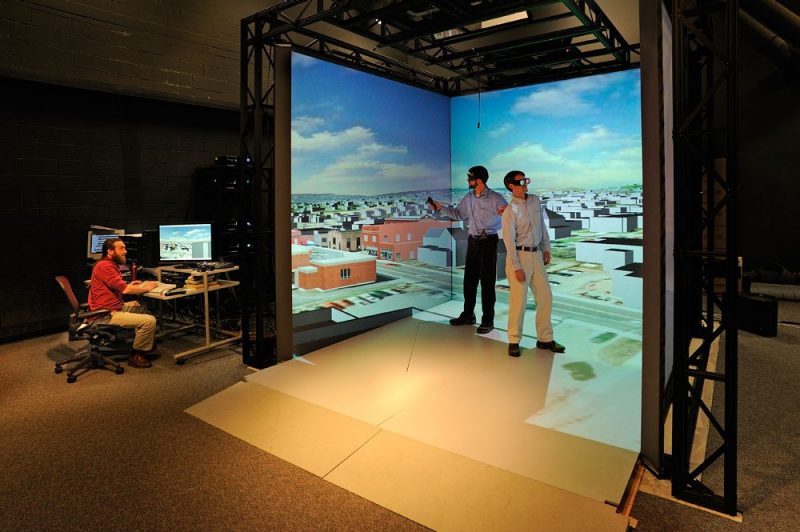
CGIT also led an innovative project to create a comprehensive model of the town of Blacksburg that includes topography, aerial photography, and buildings in a 3-D environment that can visualize building interiors, utilities, and other information. Employing the model for emergency management may improve safety and security. The model can help to visualize and assess disaster-management plans as well as help officials make more mundane decisions about infrastructure maintenance.
Now the center is taking on an ambitious project called “3D Virginia,” mapping the entire state. The map could be used by numerous groups, including urban foresters, civil engineers, health officials, and others. Sforza is anticipating that CGIT will help build the infrastructure in such a way that the data can be easily used by state agencies.
“CGIT’s scope is broad and multidisciplinary. The amount of data we can input into our system is limitless; we are building models that are never complete,” said Sforza. “We are excited to be a part of the college and know there are interesting applications and discoveries ahead.”