New mapping approach reveals benefits, shortcomings of flood-control strategies
November 15, 2016
It should come as no surprise that urban areas, with impenetrable rooftops and parking lots, contribute to flooding. But natural and manmade structures within the watersheds that serve urban and rural areas can influence the path and speed of water, for better or worse.
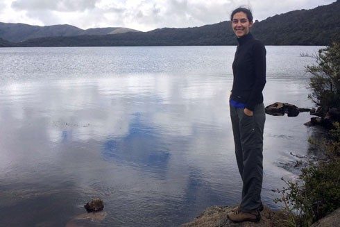
Landscape features such as vegetative cover, soil type, and slope affect the magnitude and duration of only small floods, according to research by Beatriz “Tiz” Mogollón of Bogota, Colombia, who earned her master’s degree in fish and wildlife conservation in 2014. To regulate flooding, urbanized watersheds require engineered features, such as storm-water ponds, buffer strips, and other strategies for holding water.
For her thesis research, Mogollón examined the landscape processes that influence river flooding to better understand the circumstances under which watersheds regulate flooding, as well as the prospects for managing floods by manipulating landscape structure. She focused her analysis on 31 watersheds across Virginia and North Carolina that had at least 20 years of records about river flow. Her research has been published in the Journal of Environmental Management, the Journal of the American Water Resources Association, and Ecological Indicators.
Mogollón’s approach to mapping flood-regulation capacities incorporates technological capacity, high spatial resolution across watersheds, and the changes in and importance of such landscape features as cropland, grassland, wetland, forest, and urban development, which vary significantly among watersheds. The more finely tuned mapping approach can help ensure that investments in flood management account for the limitations of landscape features.
Read the full press release.