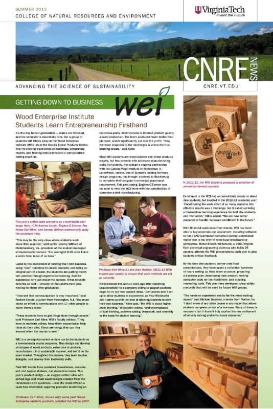
Graduate Student Team Prevails at GeoLeague Challenge
August 15, 2013
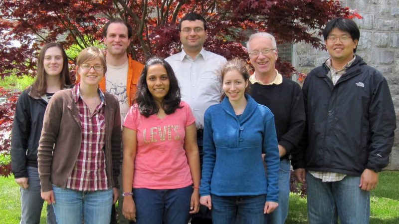
A team of seven geography and forestry graduate students took home Virginia Tech’s second consecutive title in the American Society for Photogrammetry and Remote Sensing’s national GeoLeague Challenge. The team, which calls itself the Trail Blazing Hokies, is composed of master’s and doctoral students who are members of the society’s Virginia Tech student chapter.
The goal of this year’s challenge was to use geographic information system (GIS) analysis to develop a cost- and time-efficient method to design trails at the Philmont Scout Ranch in New Mexico.
The Virginia Tech team prevailed with their entry, A Least-Cost Algorithm Approach to Trail Design Using GIS. Associate Professor Stephen Prisley; alumna Baojuan Zheng, a member of last year’s team; and Patricia Donovan, a GIS laboratory specialist in the College of Agriculture and Life Sciences, provided additional support for the interdisciplinary team.
“Trail making today is more of an art than a science,” said Ioannis Kokkinidis, the team leader. “We have created a versatile and comprehensive tool that can be used wherever a trail needs to be plotted, not only by the Boy Scouts but also by users who lack trail-making experience.”
Team members each received a one-year membership in the American Society for Photogrammetry and Remote Sensing. In addition, they earned $300 for their student chapter and publication of their paper in Photogrammetric Engineering & Remote Sensing, the official journal for imaging and geospatial information science and technology.