Wilson Uses GIS Skills on Wallops Island
November 15, 2012
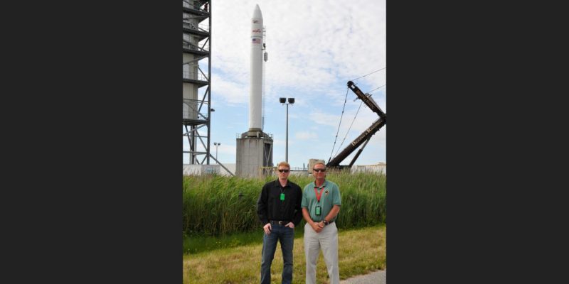
Senior geography major Andrew Wilson of Parksley, Va., analyzed potential sites of wind turbines as part of a summer work-study job at NASA’s Wallops Island facility on Virginia’s Eastern Shore. He wanted to ensure that the 492-foot structures wouldn’t obstruct flight buffer zones, cause interference with the combat systems center, or violate Federal Aviation Administration regulations.
“Although these structures weren’t planned for the island itself, I had to analyze them to determine if they affected our air space or violated FAA rules. It turned out that 13 out of the 62 did,” Wilson said, so the proposed wind turbines will have to be re-sited.
The project is an attempt to develop proper siting of wind turbines along the Eastern Shore and Virginia’s Barrier Islands as energy companies harness the brisk ocean winds. Though not a project of the Wallops Island facility, it has direct impact upon its operations. Wilson also digitized the location of the many island’s wetlands and worked on perfecting his ARC GIS software skills. “I definitely learned a lot about the scope of geospatial and environmental analysis,” he added.