CGIT helps Virginia’s independent grape growers assess and manage vineyards
February 15, 2018
An online vineyard site assessment and management tool called GeoVine is available to those interested in growing grapes for winemaking.
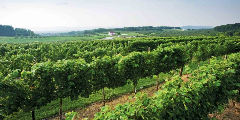
Avid home winemakers Michael and Gerri Fritze took a leap of faith last year, buying a farm in Waterford, Virginia, and establishing Quartz Creek Vineyards LLC. The Fritzes credit GeoVine (geovine.org), a vineyard site assessment and management tool developed by the Center for Geospatial Information Technology (CGIT), based in the college, with helping them find an appropriate property for their vineyard.
GeoVine, which was funded by the Virginia Wine Board, includes a map editor that can create boundaries, a dedicated reports page, a way for users to organize multiple sites, and tutorials. By completing the online survey, the user receives a site evaluation report that includes soil, climate, elevation, slope, and aspect data; an indication of rocks in the physical area; topographic moisture potential; and additional information on grapevine climate/maturity, land cover, and land surface forms.
Francis Lazarus of Spring House Vineyard in Loudon County used GeoVine to be sure that grapes would grow on land he was planning to buy. “The evaluation was positive and helped me make the decision to purchase the property,” he said. “I was surprised that I got such a full evaluation from remote sensing and very happy to learn so much about the property so quickly.”
CGIT Director Peter Sforza reports that his team is doing about 30 to 40 unique reports a day. “We’ve built tools to help growers not only select a site but match which variety of grape might fit best at a particular location. We continue to update GeoVine with expanded geospatial analysis and capabilities as they become available.”
Read the full press release.