No Speedy Solutions for Afghans, Stiles Says in 9-11 Observance
November 15, 2011
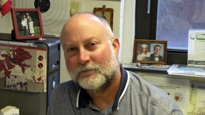
Comparing the tribal regionalism in Afghanistan today to the pre-Civil War united States, Ken Stiles, CIA officer-in-residence in the Department of Geography, discussed the Afghan campaign at a 9-11 remembrance event at Virginia Tech on Sept. 13. “There’s no strong central government to support,” he said. “The Afghans are thinking of their families, their valleys. That’s where their loyalties lie.” He emphasized that the views presented were his own and not those of the CIA or the U.S. government.
“It took our country several generations to develop a nationalist outlook, so why should we expect the Afghans to do it in 10 years?” Stiles asked his Burruss Hall audience. Even Afghanistan’s boundaries were determined by an outside force — the united Kingdom — rather than cohesive political forces in the country itself. “This has aptly been named the ‘Long War,’” Stiles said. “It may not continue at the same tempo, but it is likely to persist in some level of strife for years, in the way Israel has.”
Stiles, a Geospatial Information Systems (GIS) expert with some 25 years of CIA experience, was asked immediately after 9-11 to set up a targeting cell — a combat-zone information and analysis squad — to support teams working with Afghan resistance groups. using GIS, they worked around the clock to gather information, locate Taliban and al Qaeda forces, and determine the best way to attack.
As a visiting faculty member, Stiles is teaching a course on the ways the intelligence community uses GIS applications to support policy makers and military operations. His students are working with GIS maps of Civil War General Stonewall Jackson’s Shenandoah Valley campaign.
The 9-11 event, which was open to the local community, was hosted by geography instructor John Boyer. He and Stiles held a question-and-answer session before a screening of “Charlie Wilson’s War,” a film based on a Texas congressman’s covert dealings in Afghanistan in the 1980s.